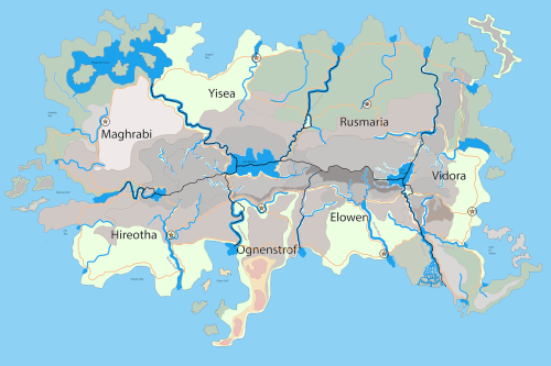
The Continent of the Seven Kingdoms
Geographically Divided. Inseparably Bound.
What people remember shapes civilization. What people forget defines it.
How much of your past must disappear before it becomes a myth?
Seven kingdoms. One forgotten beginning.
Take A Deep Dive
Map of Cendomvita Page
Origins
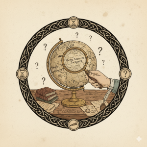
The oldest records of Cendomvita present a surprisingly consistent account of the continent’s origins. Indigenous communities settled the land long before the arrival of refugees from Orudara, eventually giving rise to the cultures that would dominate the continent for centuries.
The consistency itself has become a subject of debate.
Surviving traditions from across Cendomvita frequently describe earlier migrations predating the accepted narrative. Ancient settlements appear in regions where no corresponding population is recorded. Fragments preserved within Information Guild archives reference peoples and movements absent from later histories.
Individually, such discrepancies might be dismissed as errors, exaggerations, or folklore. Collectively, they suggest something more troubling.
The deeper researchers probe into the continent’s earliest history, the more evidence they encounter that portions of the historical record may have been deliberately simplified, altered, or removed entirely.
No consensus exists regarding who might have benefited from such efforts. Some scholars argue the gaps are merely the consequence of war, disaster, and the passage of time. Others note that the omissions often appear remarkably convenient, discouraging questions about who settled the continent first and how successive migrations shaped its peoples.
Whatever the truth, one fact remains clear. The accepted story of Cendomvita’s origins answers fewer questions than it raises.
Rise of the Seven Kingdoms
The arrival of Orudaran refugees represents the last major population movement recorded in Cendomvitan history. Rather than replacing existing populations, the newcomers settled among communities already established throughout the continent. The scale of the migration accelerated trade, expanded agriculture, and increased competition for land, resources, and influence.
As settlements expanded, regional leaders consolidated authority over neighboring communities. Geography played a significant role in shaping these emerging powers. Rivers, mountain ranges, coastlines, and trade corridors encouraged the development of distinct political and cultural centers. Over time, several regional powers grew large enough to dominate their surrounding territories.
Although kingdoms competed politically, commerce increasingly ignored borders. Merchants, messengers, craftsmen, scholars, and sailors required systems that extended beyond any single ruler’s authority. Guild organizations emerged to meet those needs, creating networks that linked distant communities through trade, information, transportation, education, and specialized professions.
Unlike kings and nobles, guilds derived their influence from usefulness rather than territory. Their services became so essential that rulers often found cooperation more profitable than confrontation.
Generations of alliances, conflicts, marriages, and economic integration gradually produced the political landscape recognized today. Kingdoms rose and fell, borders shifted, and rival powers competed for dominance. Yet no ruler succeeded in permanently unifying the continent under a single crown.
Instead, seven major kingdoms emerged as the dominant powers of the age. Each developed its own traditions, priorities, and political culture, yet all participated in the same interconnected economic and institutional systems that bound the continent together.
The Seven Kingdoms represent more than political boundaries. They are the product of centuries of migration, cooperation, competition, and adaptation. Their histories differ, but their futures remain intertwined through the guild networks, trade routes, and shared institutions that continue to shape life across Cendomvita.
Geopolitical Structure
Modern Cendomvita is divided among seven sovereign kingdoms, each possessing its own government, laws, traditions, and political priorities. Their borders have shifted repeatedly throughout history, but the balance between seven major powers has endured for generations.
At first glance, the arrangement appears fragile. Rival kingdoms compete for influence, resources, and strategic advantage. Political disputes, economic disagreements, and territorial tensions remain a constant feature of continental affairs. Yet despite these conflicts, large-scale wars between the kingdoms have become increasingly uncommon.
The primary reason is interdependence.
No kingdom controls every resource required to sustain its prosperity. Agricultural regions depend upon distant markets. Coastal powers rely upon inland trade corridors. Manufacturing centers require materials extracted hundreds of miles away. The continent’s rivers, roads, ports, and mountain passes connect economies that cannot easily function in isolation.
Guild networks reinforce these connections. Organizations such as the Information Guild, Transportation Guild, Merchant Guild, and countless professional associations operate across political boundaries, providing services upon which both governments and citizens depend. Their influence often extends beyond that of local rulers, creating continental systems that persist regardless of shifting political alliances.
As a result, Cendomvita exists in a state of perpetual negotiation. Cooperation and competition occur simultaneously. Kingdoms pursue their own interests while recognizing that instability in one region can quickly affect the prosperity of another. Guild leaders, merchants, and scholars often wield influence rivaling that of kings, creating overlapping systems of authority that span the continent.
The arrangement has produced centuries of remarkable economic growth, cultural exchange, and technological development. It has also created opportunities for corruption, manipulation, and political intrigue. Power rarely rests in a single institution. Kings, guild leaders, merchants, military commanders, and influential families all compete to shape the continent’s future.
The result is a political landscape defined not by unity, but by balance. No kingdom is strong enough to dominate the continent indefinitely. No kingdom is isolated enough to ignore its neighbors. Between those realities lies the complex network of relationships that governs modern Cendomvita.
Those relationships play out differently across the continent’s kingdoms and trade regions.
East Coast
South Coast
Geography and Natural Features
The Central Mountains dominate Cendomvita. This range begins near the Fountain of the Roaring River in the west and stretches eastward. As the mountains move toward the Vidoran Divide, they grow in both elevation and breadth. Consequently, this range is defined by tall, jagged peaks and deep, inaccessible valleys.
The Cendomvitan Great Lakes
Three prominent freshwater lakes sit within these mountains. These bodies of water serve as the heart of the continent’s ecosystem:
- Lake Kosak: This lake is famous for its rare bifurcated drainage across the continental divide. Despite its high elevation, Lake Kosak feeds rivers flowing toward both the North Sea and the southern plains.
- Lake Mahyim: As the largest and deepest lake in Cendomvita, Mahyim sits just north of the continental divide. It touches the borders of four kingdoms. Therefore, it serves as a vital resource for water and trade.
- Lake Orendil: This is the westernmost of the great lakes. It forms the headwaters of the Roaring River within a peaceful valley. Notably, cliffs of barren flat rock create a windy channel to the west. Travelers know that the “roar” comes from the wind rushing through the gorge rather than the water itself.
Rivers and Borders
The continent’s major river systems largely shape the borders of the Seven Kingdoms. For example, the unusual drainage of Lake Kosak creates a “nominal island” in Vidora. This kingdom remains separated from the mainland by two major rivers. Similarly, Yisea exists as a nominal island. Lake Mahyim forms its southern border, while the Olydran and Probnipex rivers define its eastern and western boundaries.
The Ashen Peninsula
Another force that has shaped Cendomvita for millennia lies beneath the mountains. A chain of volcanoes extends from the Ashen Peninsula of Ognenstrof northward into the Central Mountains. While many peaks now lie dormant, the region remains geologically active. Volcanic soils contribute to agricultural productivity in some regions, while mineral deposits support mining throughout others.
Lake Mahyim is the most dramatic expression of this ancient activity. Though known primarily as the continent’s largest freshwater lake, its immense basin hints at a far more violent geological history.
The volcanic chain extending from the Ashen Peninsula into the Central Mountains has influenced the continent’s development for thousands of years. Geological evidence preserved throughout the region suggests that volcanic activity played a significant role in shaping portions of the modern landscape. Its legacy can still be seen in the continent’s waterways, mineral deposits, and distinctive terrain.
Geography shaped the opportunities available to Cendomvita’s peoples, but it never determined their choices. Rivers encouraged trade. Mountains created barriers and opportunities alike. Coastlines connected distant communities while isolating others. Across centuries, kingdoms, guilds, and merchants adapted to these realities, transforming the continent’s natural landscape into the foundation of a shared civilization.
The Records
No single document can fully explain Cendomvita.
Its history survives through royal archives, guild records, archaeological discoveries, local histories, personal accounts, and oral traditions preserved across generations. Together, these records offer insight into the continent’s peoples, kingdoms, institutions, and landscapes.
Some accounts agree. Others contradict one another. Many questions remain unanswered.
The records collected within the Thalevirian Archives represent the best surviving evidence currently available. Readers are encouraged to explore the continent’s kingdoms, cities, natural features, organizations, and historical figures to better understand the forces that shaped modern Cendomvita.
Throughout much of their recorded history, the inhabitants believed Cendomvita comprised the entire known world. This perspective shaped their culture and politics for generations. Consequently, any mention of lands beyond the sea remains a matter of myth rather than maps.
The surviving records of Cendomvita span centuries of political upheaval, migration, conquest, and recovery. Some survive as personal accounts. Others were preserved through guild archives, royal collections, and oral traditions later committed to writing.
The following records represent several of the most influential surviving accounts from Cendomvitan history.
Reader Advisory: These books contain scenes of intense violence against men, women, and children. Its contents and themes are intended for mature audiences (18+). Reader discretion is advised.
Early History
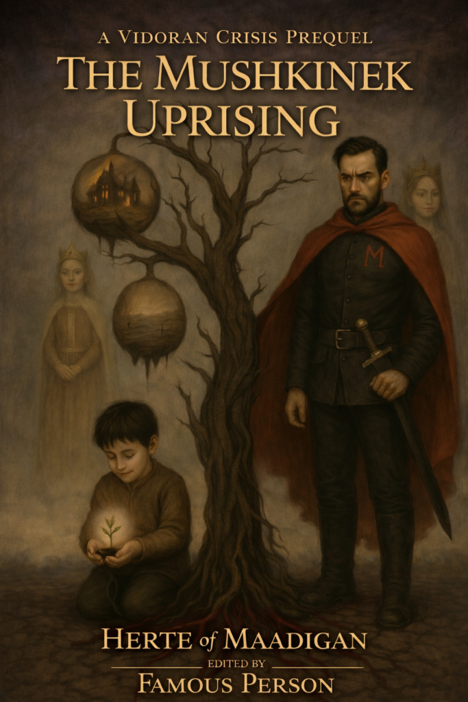
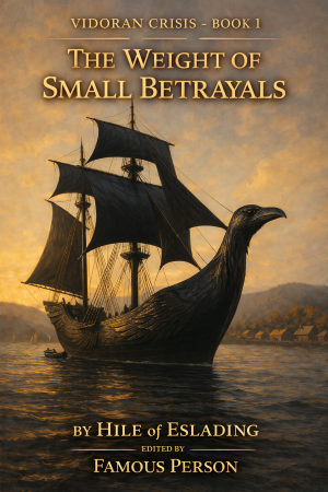
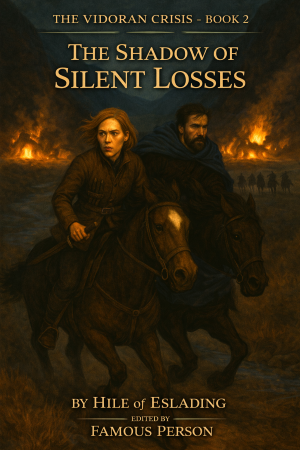
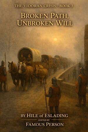
The Vidoran Crisis
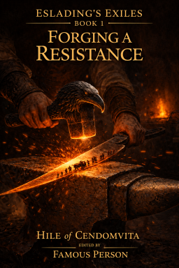
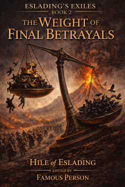
Eslading’s Exiles